
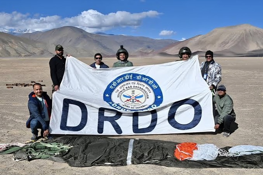
The Defence Research and Development Organisation has flight-tested an indigenous High-Altitude Platform System, which climbed to about 21 kilometres above mean sea level and held an operating altitude of about 20 kilometres for more than 30 minutes before it was told to descend. The platform was developed by the Aerial Delivery Research and Development Establishment in Agra. The test was reported on 8 October 2026. It carried a GPS receiver, onboard cameras, an inertial measurement unit and an altitude-control mechanism, and it sent real-time video and flight parameters to a ground control station. The platform was recovered and its flight data was analysed.
The argument that the test is an important step is based on what the platform can do. A system that stays at 20 kilometres is in the stratosphere, above the weather and above commercial air traffic, so it can watch a wide area for a long time at a cost lower than that of a satellite. The applications listed for it are surveillance, intelligence gathering, communications support, Earth observation, environmental monitoring and disaster response. The test was supported by the Indian Air Force, the Centre for Military Airworthiness and Certification, the Directorate General of Civil Aviation, the Airports Authority of India and other civil authorities, which shows that the flight was coordinated with the agencies that control the airspace. DRDO describes it as a step toward an indigenous near-space surveillance capability.
The counter-argument is that a flight of half an hour is a long way from operational use. The platform held its altitude for more than 30 minutes, but the value of a high-altitude platform lies in staying aloft for days or weeks, and the report does not give a planned endurance, the weight of the platform or the size of the payload it can carry. The location of the test and the date of the flight are also not stated, so the only public record is the account of the result. The platform was instructed to descend after the planned period and then recovered, which suggests a controlled test rather than a demonstration of endurance. Development of a system of this kind also needs sensors, power and communications that have to work reliably in very cold, thin air, and the report mentions none of the results for the payload beyond the transmission of video and flight data.
For India’s security the capability matters because long borders, a long coastline and rough terrain are difficult to watch with satellites and aircraft alone. A platform that can stay in the stratosphere could give a continuous view of an area, and it could also act as a communications relay in places where there is no network. The involvement of civil aviation authorities shows that the system is intended to work in airspace shared with other users. The test is also a sign that DRDO is working on technologies in the near-space region, as other countries are.
DRDO has shown that its high-altitude platform can reach and hold 20 kilometres. The next steps are longer flights and operational payloads, and the results of those will show whether it can become a working surveillance system.



Leave a Reply